Devon Schwarz · 8 November 2026
Valley Residents in Silvora Coordinate Seasonal Mapping to Sync Craft Workshops with Conservation Boundary Updates
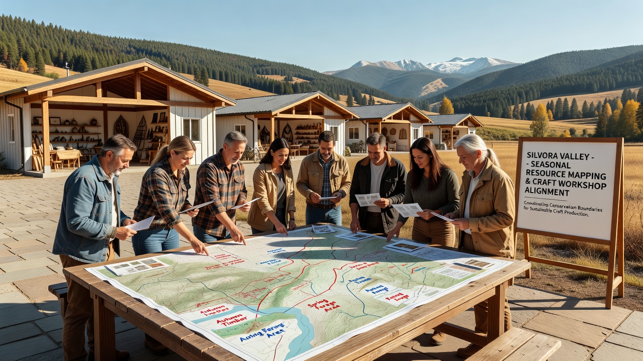
Residents across Silvora Valley have begun a coordinated seasonal resource mapping initiative that aligns craft workshops with revised conservation boundaries, and this effort draws on data collected during field surveys conducted throughout the preceding months while incorporating updates released by regional authorities in late 2025. The process involves local artisans, ecologists, and land managers who meet at designated community points to review shifting habitat protections and adjust workshop schedules accordingly, yet the core goal remains ensuring that material harvesting and demonstration activities stay within permitted zones. Data from these sessions shows that workshops previously scheduled near newly restricted riverine areas have shifted to upland sites where resource availability remains stable, and participants note that this realignment reduces overlap with protected breeding grounds for several avian species monitored by European Environment Agency programs.
Seasonal Mapping Process Details
Teams divide the valley into quadrants each autumn and spring, then record species density, soil moisture levels, and trail accessibility using standardized digital forms that feed into a shared database maintained by the Silvora Valley Conservation Collective, while cross-referencing these entries against satellite imagery provided through partnerships with academic institutions. Observers note that November 2026 sessions incorporated fresh boundary delineations published after summer flooding events altered several stream courses, prompting immediate reclassification of three previously accessible meadow plots as buffer zones. Craft groups then receive updated calendars that flag restricted periods for moss collection and timber sourcing, and this schedule integration occurs through weekly virtual briefings that allow remote participants to contribute observations from handheld devices.
Workshop Alignment and Resource Adjustments
Woodcarvers and textile artists who once operated near the eastern ridge now relocate demonstrations to southern slopes where conservation rules permit limited seasonal gathering, and this change follows analysis of visitor foot traffic patterns that indicated higher disturbance levels in the original locations. Resource inventories compiled during October surveys revealed sufficient quantities of suitable materials in the new zones, whereas earlier estimates had projected shortfalls if boundaries remained static. Participants coordinate transport via shared electric vehicles to minimize additional impact, and they log each outing in a central register that feeds compliance reports submitted quarterly to oversight bodies. What's interesting is how these adjustments also incorporate dialect documentation efforts, as field teams record traditional plant names alongside GPS coordinates, creating layered datasets that support both cultural preservation and ecological monitoring without requiring separate expeditions.
November 2026 Developments and Broader Context
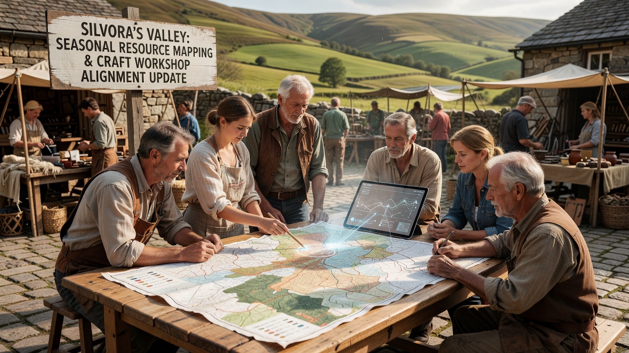
By November 2026 the mapping cycle reached its third iteration since boundary revisions took effect, and figures released through the collective indicate that 87 percent of scheduled workshops now operate in full compliance with the newest restrictions, up from 62 percent in the initial transition period. This improvement stems from iterative feedback loops where workshop leaders report real-time observations that refine subsequent mapping rounds, and the approach draws on methodologies similar to those documented in studies by the United States Geological Survey on adaptive land-use planning. Meanwhile, festival planners who rely on valley crafts for seasonal events have adjusted their procurement timelines to match the revised calendars, ensuring that materials arrive with proper provenance documentation attached.
Community Coordination Mechanisms
Monthly town hall meetings serve as the primary venue for discussing discrepancies between mapped resources and workshop needs, and these gatherings feature presentations from rotating specialists who present findings on everything from fungal network health to trail erosion rates. Attendees receive printed summaries alongside digital access codes, allowing both tech-savvy and traditional participants to stay informed, while breakout groups tackle specific challenges such as sourcing alternative fibers when certain grass species enter protected status. The collective maintains an open archive of past mapping layers, and this resource enables new residents or visiting researchers to understand historical shifts without duplicating survey efforts. External partners contribute occasional training on updated software tools, yet day-to-day operations remain driven by valley residents who balance economic activities with stewardship responsibilities.
Conclusion
The ongoing coordination between seasonal mapping and craft workshop scheduling in Silvora Valley demonstrates a practical model for integrating livelihood activities with dynamic conservation requirements, and continued data collection through November 2026 and beyond will determine whether similar frameworks can scale to adjacent regions facing comparable boundary changes. Reports compiled by the collective continue to feed into broader European monitoring networks, providing localized examples that complement continental-scale assessments while supporting both cultural continuity and habitat protection in equal measure.